類別: 教育
執照: 免費
評分:
官方網站: Google Earth Pro
維基百科: Google Earth Pro
描述
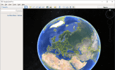
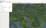
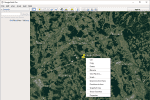
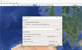
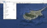
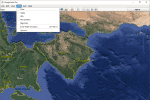
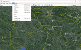
Google Earth –一種旨在與地球的虛擬模型配合使用的軟件。 Google地球提供了一系列工具,可顯示3D圖形中的建築物和景觀,街道全景,深海潛水,研究有關地標的信息等。該軟件可讓您在自己的地圖上加上自己的標記衛星圖像並繪製指定地標之間的路線。 Google Earth還可以使用飛行模擬器查看遙遠星系的圖像並探索火星或月球表面。 Google Earth允許您傳輸地理數據並將其添加到3D地圖上。
主要特點:
- 豐富的地理內容
- 地形的詳細概述
- 3D建築模型
- 顯示火星和月亮的表面
- 在水面下潛水
- 觀看歷史照片
截图:
Google Earth Pro
版本:
7.3.3.7786
語言:
文言
下載 Google Earth Pro
點擊綠色按鈕開始下載
Download has started, check your browser download window. If there are some problems, click the button one more time, we use different download methods.
